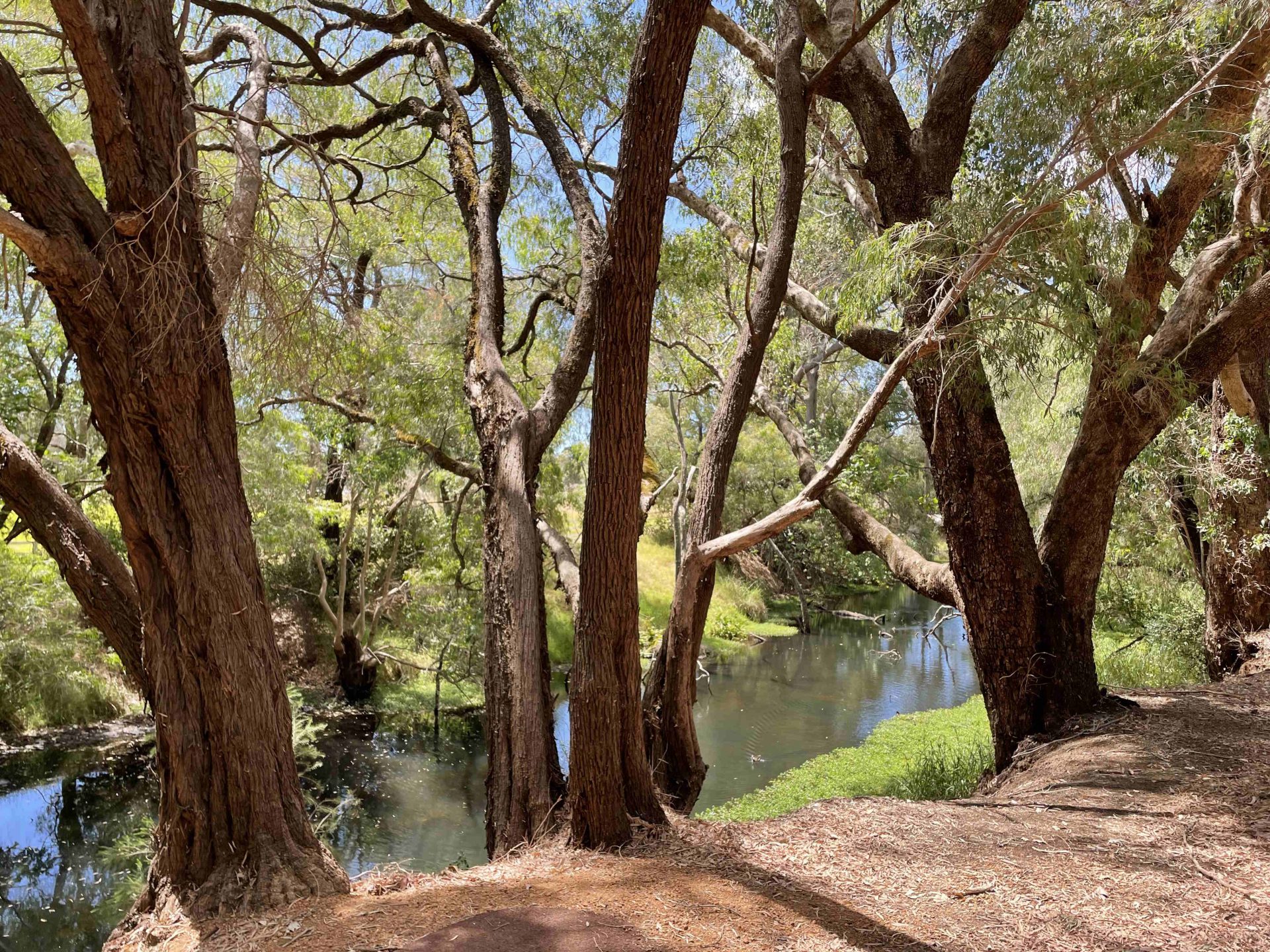
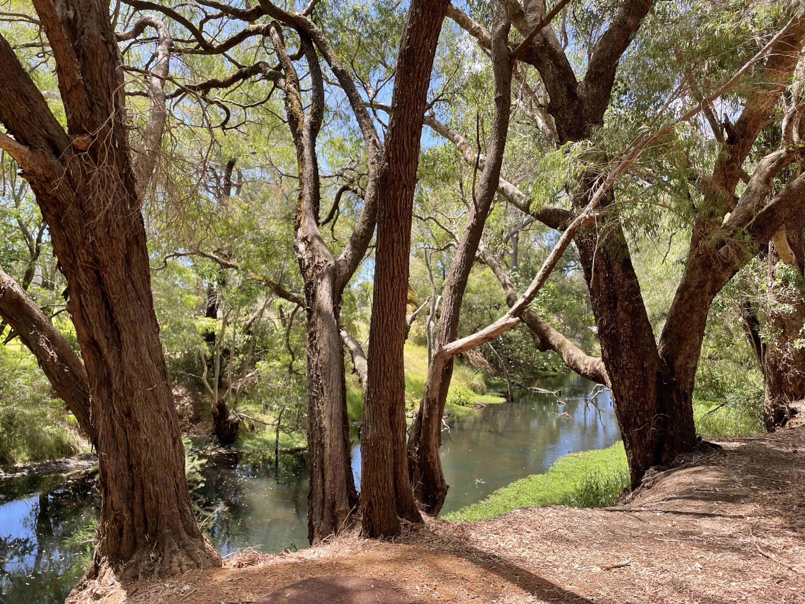
Harvey River
- Harvey River, Harvey WA 6220
- Open 24 Hours
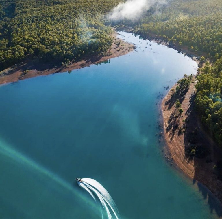
The Harvey River catchment is 1921 km2. It includes the Harvey River and three main tributaries (Drakes (Waroona Drain), Samson and Logue brooks). The Harvey River is approximately 80 km in length from the headwaters to the confluence with the estuary.
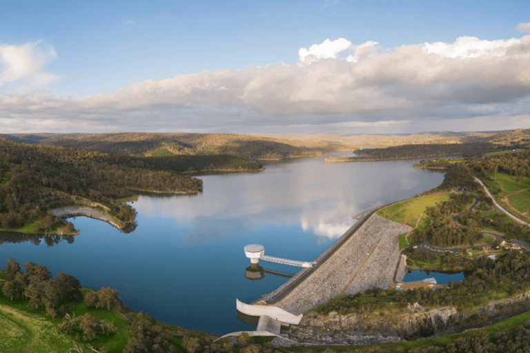
Flows in the Harvey River system are highly regulated, with seven large dams that are managed for different purposes. The two dams on the main branch of the Harvey River, Stirling Dam and Harvey Dam, were completed in 1948 and 2002, respectively, although flow regulation dates back to 1916 at the Harvey Weir.
Approximately 3 km downstream from Harvey Dam, the flow is directed into the Harvey River Diversion Drain, which was constructed in the 1930s to manage flooding.
Take a walk along the river at Stirling Cottage Gardens or The Jungle Reserve & Rest Area.
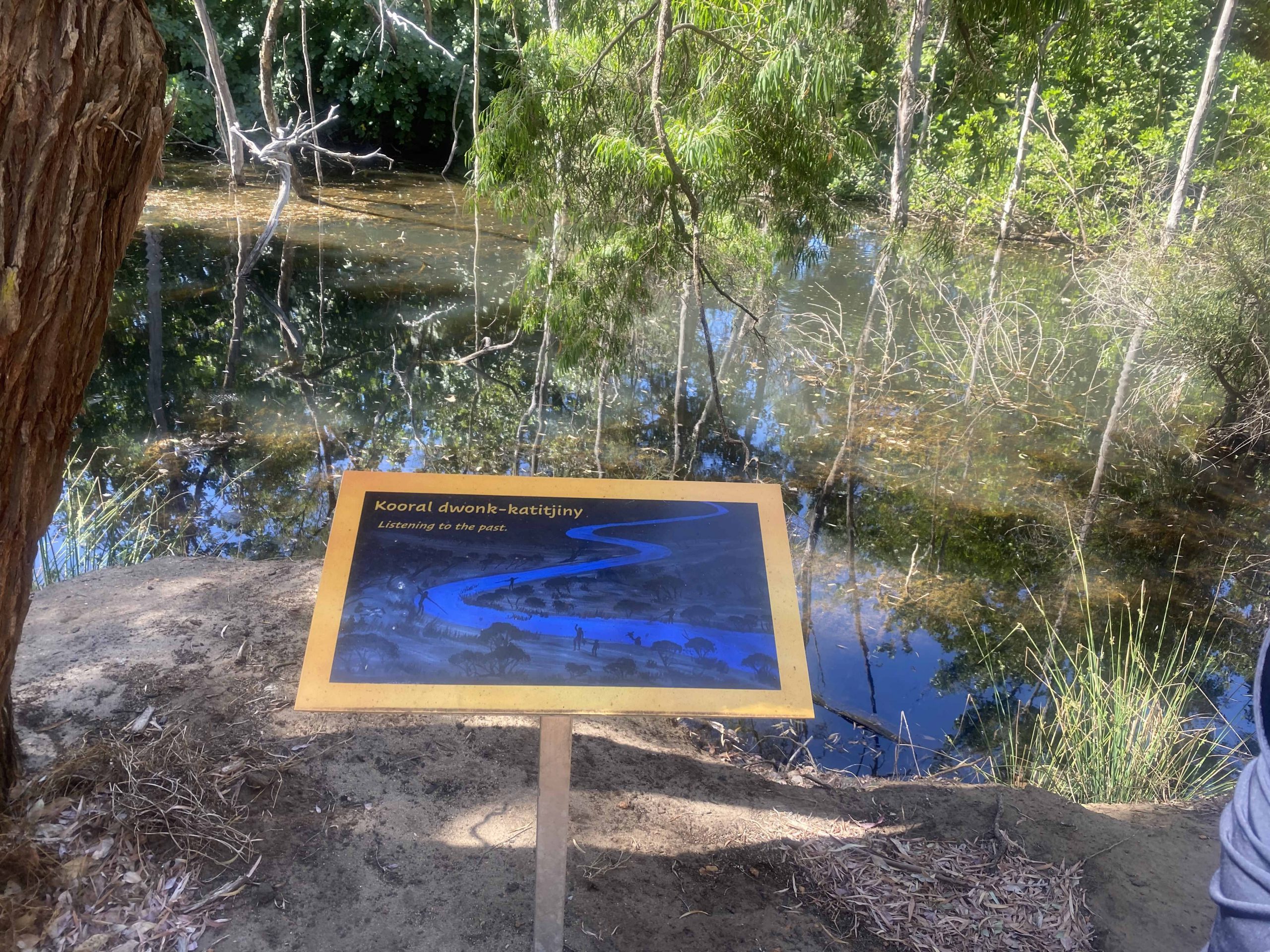
The Bindjareb people refer to the Harvey River as Coraigeca Bilya. It forms an integral part of their Dreamtime story, where the Waugal (snake) created the waterways and landforms in the Harvey Region and beyond.
In 1829, Governor Stirling named the river, Harvey, soon after explorers Collie and Preston discovered it. It is most likely named after his past superior officer, Rear Admiral Sir John Harvey RN, Commander-in-Chief of the West Indies Station.
Governor Sir James Stirling selected an area of 12,800 acres and later called it The Harvey or Harvey River Settlement.