
Dams, Lakes, Rivers & Wetlands
We are Have Fun Waterways.
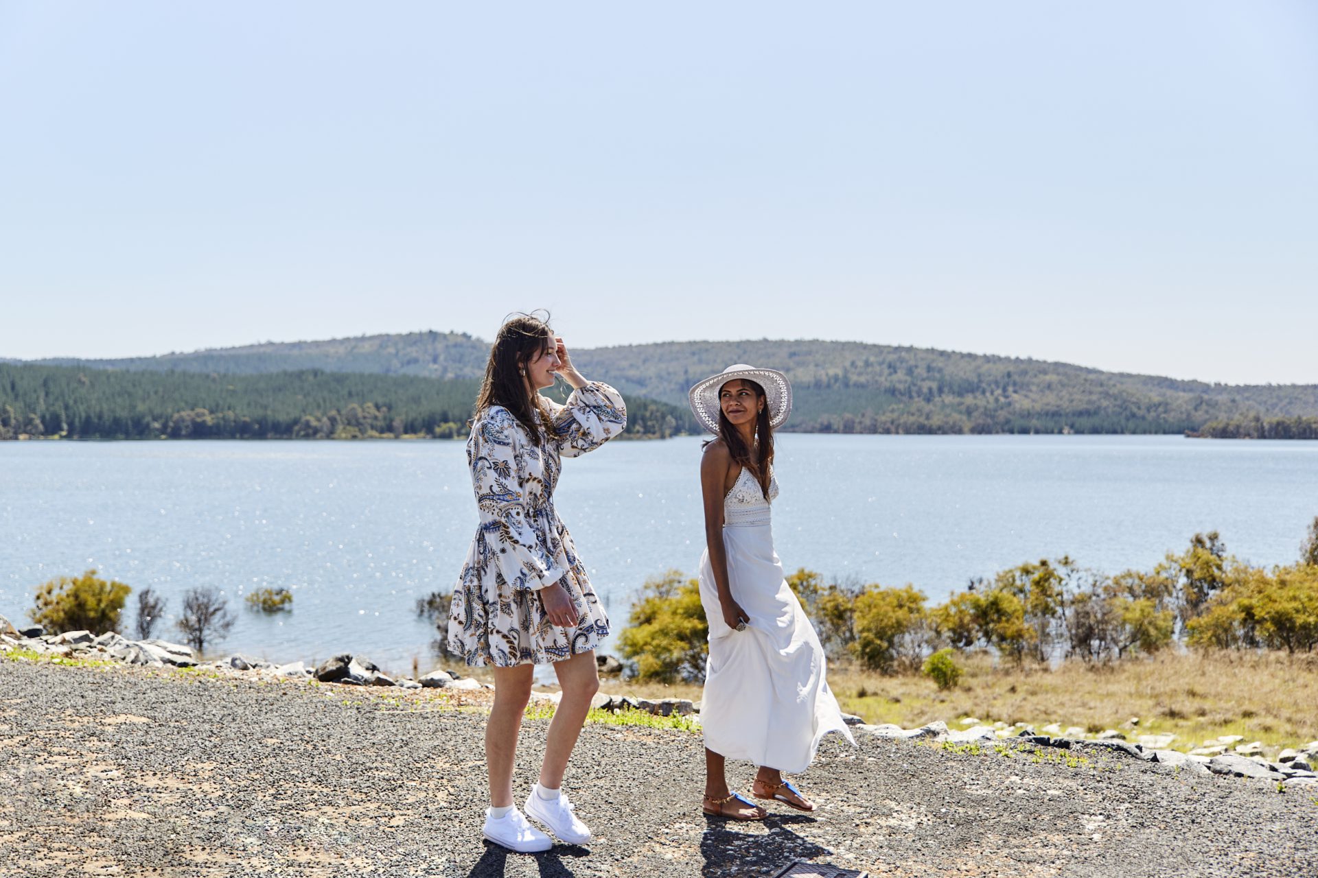
Come find some of the freshest water in Australia. The Harvey Region’s winding rivers and waterways are the lifeblood of our diverse natural landscape, and serve as a backdrop to some of the area’s iconic attractions. Whether you’re looking for meandering creeks, lakeside beaches, riverside parks or wetlands that serve as wildlife refuges, there’s much to uncover.
Dams
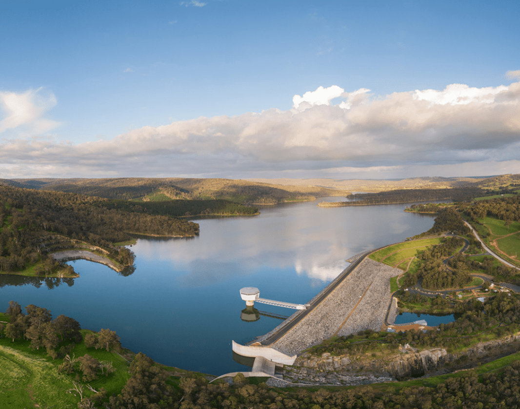
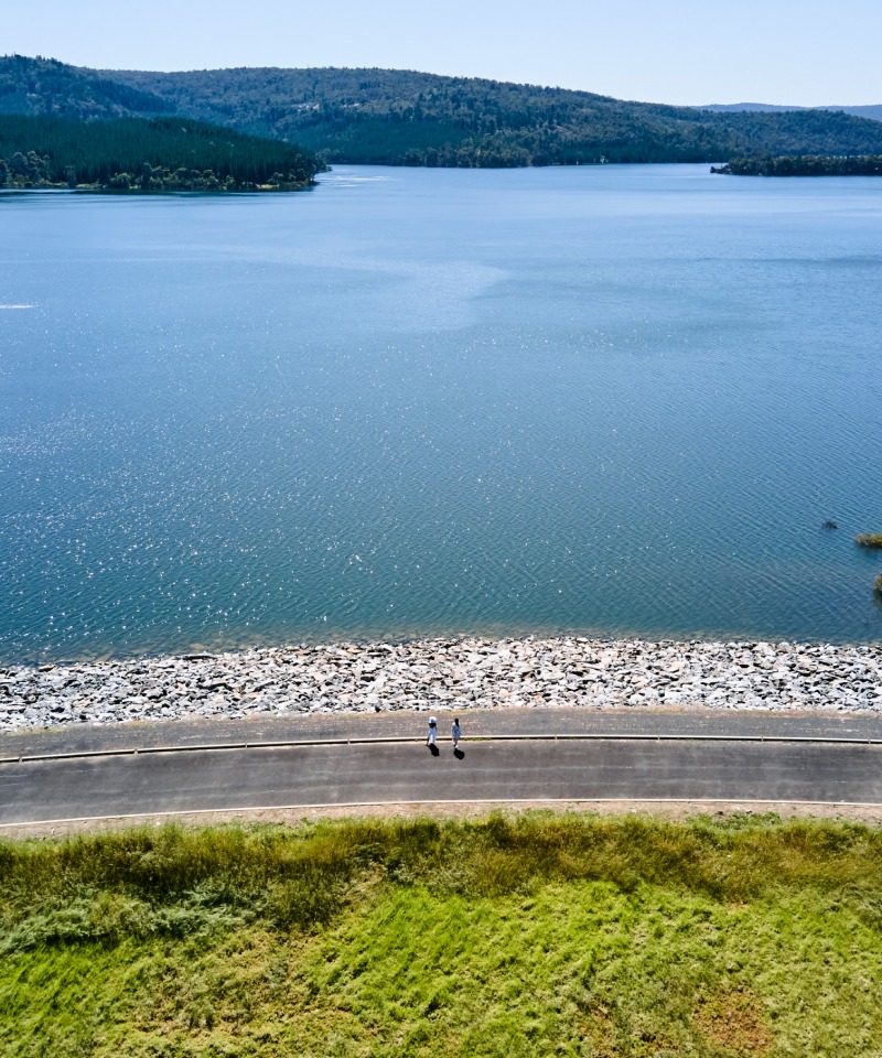
Get wet. The Harvey Region is a major water catchment area for Western Australia. Our three major dams include:
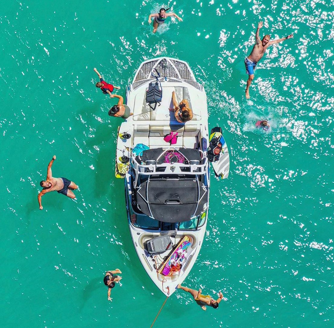
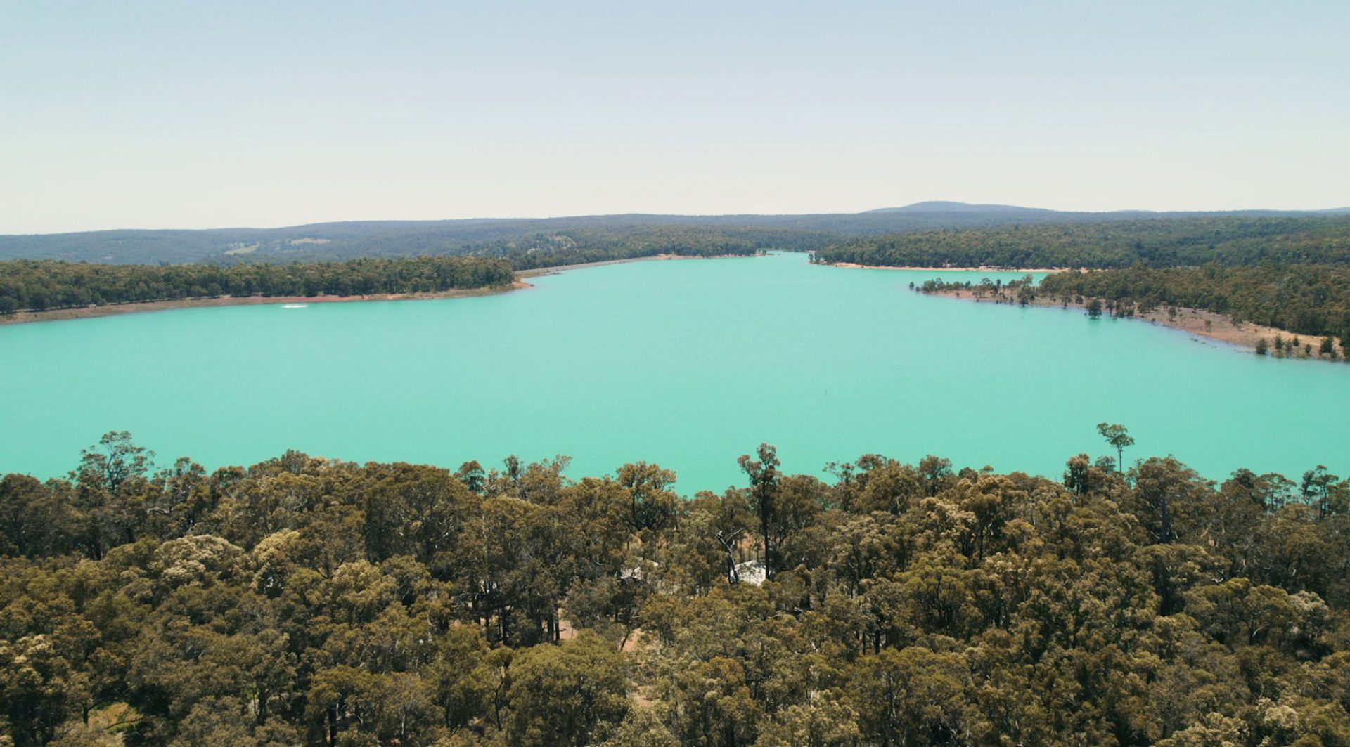
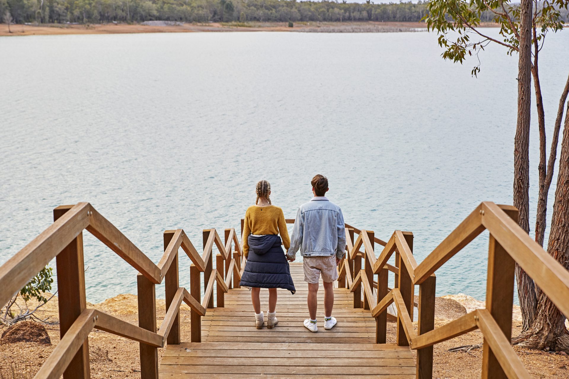
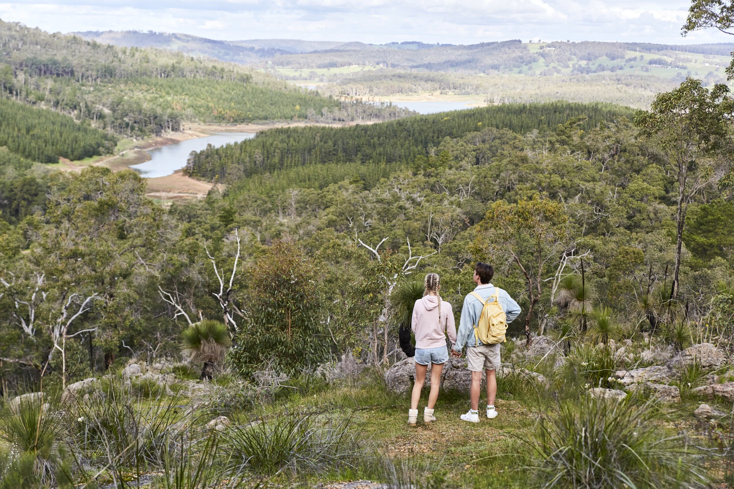
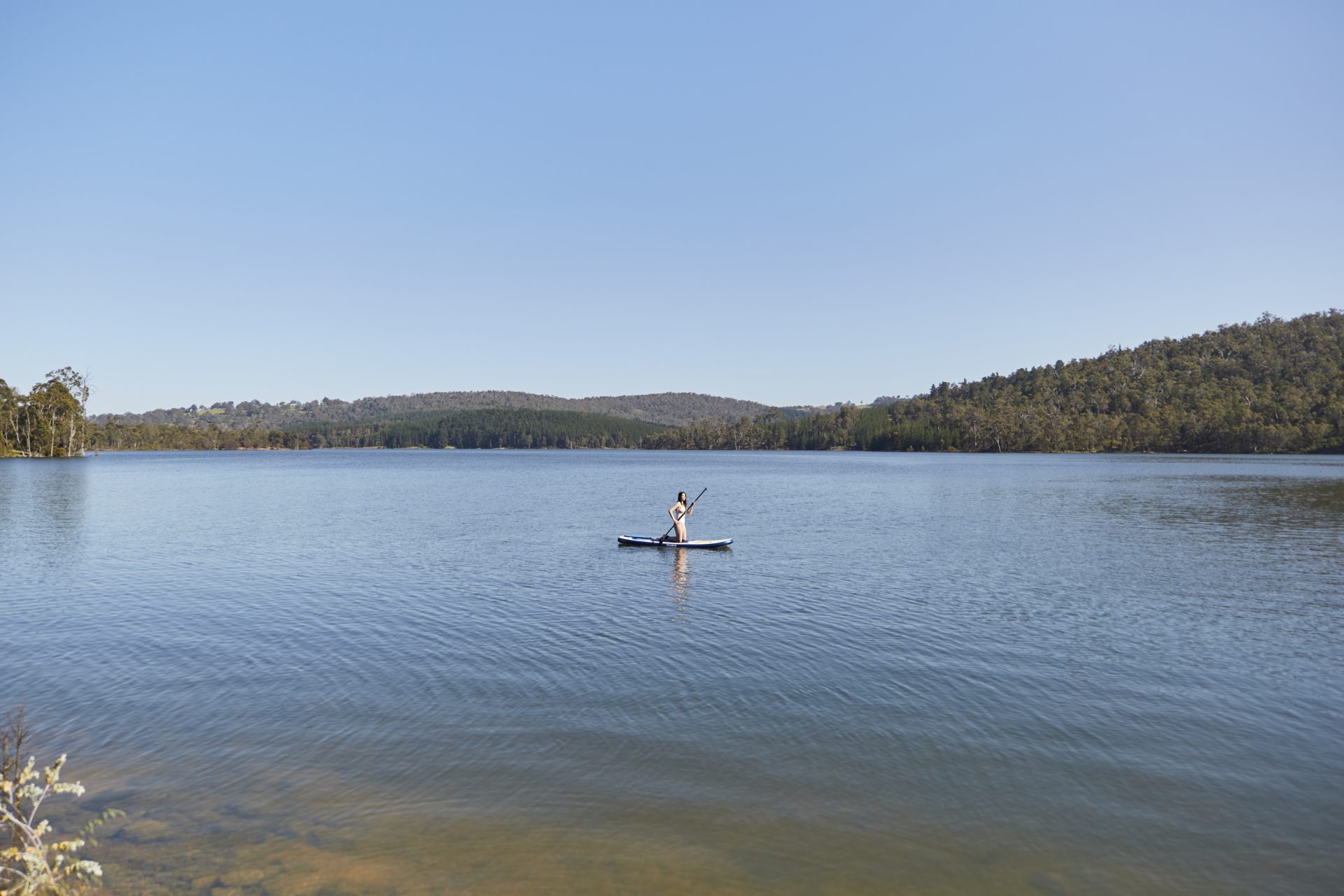
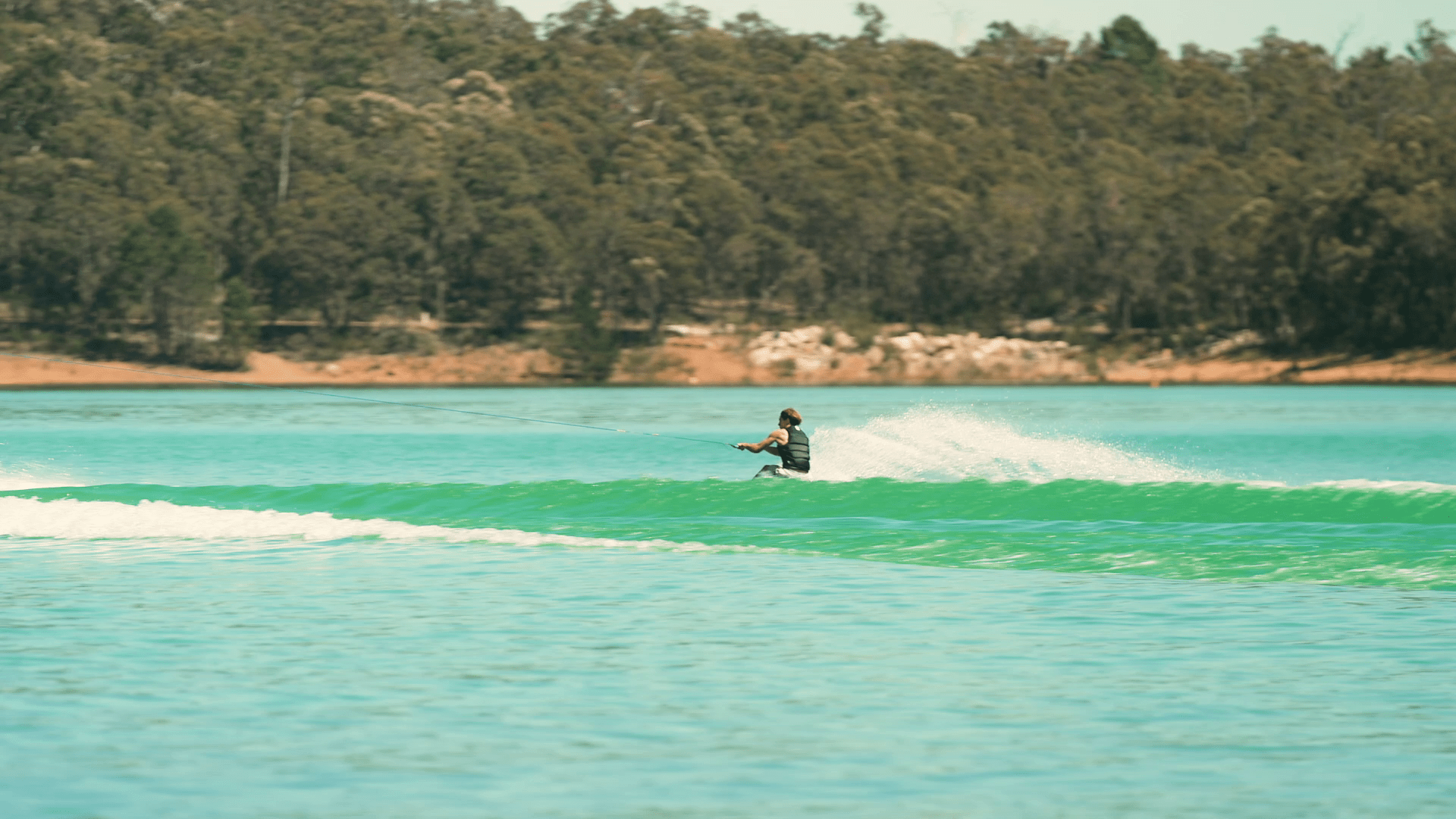
Harvey Dam and Lake Brockman offer a plethora of recreation activities. Water skiers can master their skills at Logue Brook Dam, one of the best ski areas in Western Australia. Harvey Dam is the place to go for kayaking, SUP, and fishing (non-motorised).
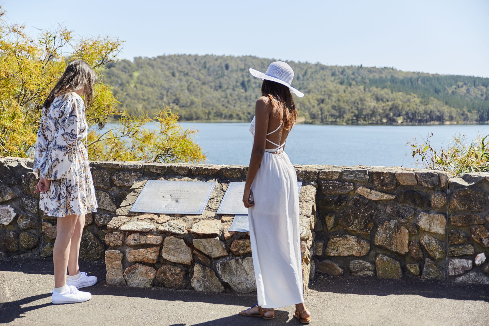
Stirling Dam is a protected drinking water resource, but has a viewing platform area for visitors.


Lakes
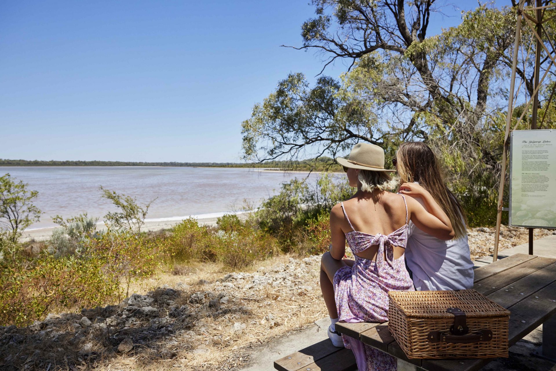
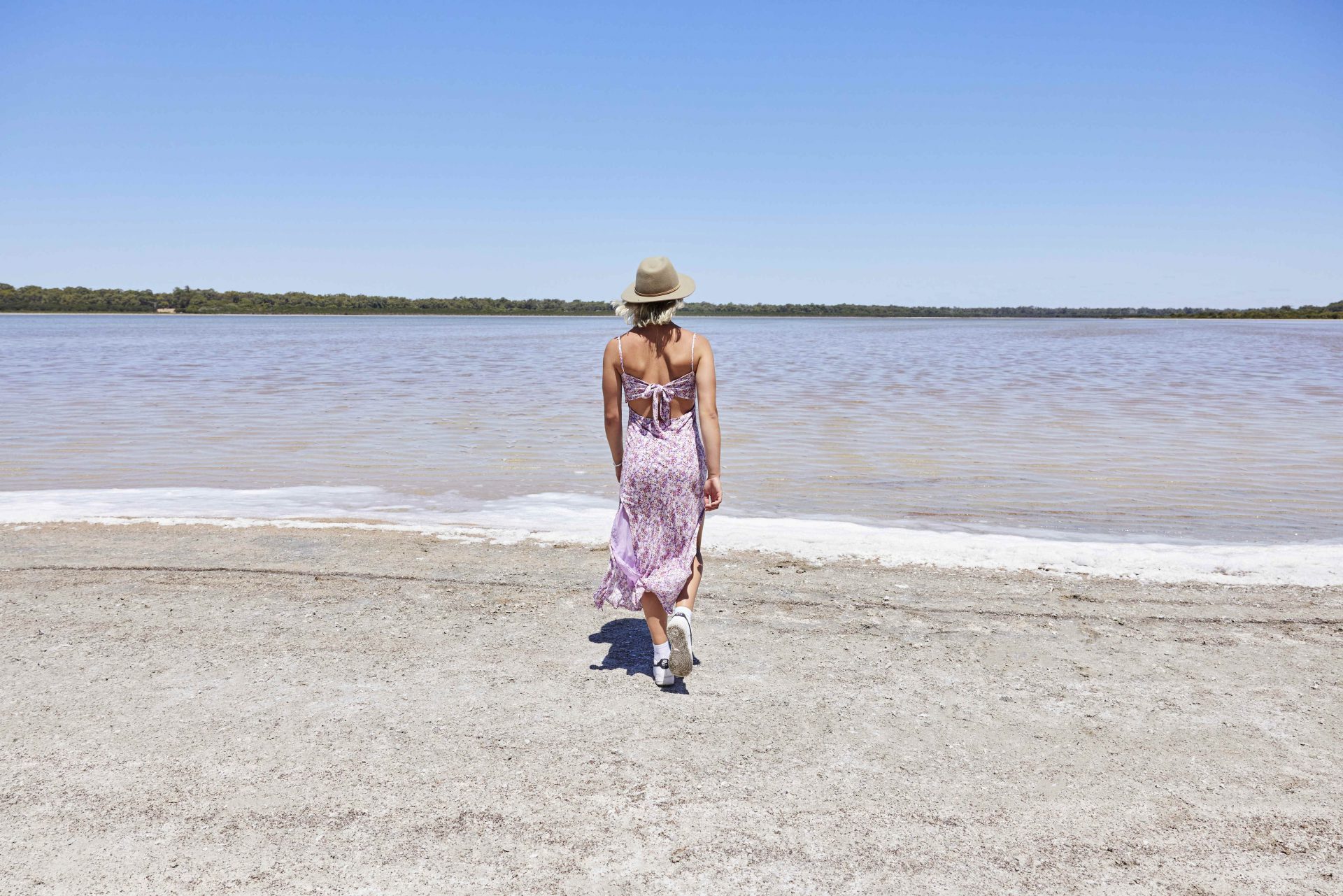
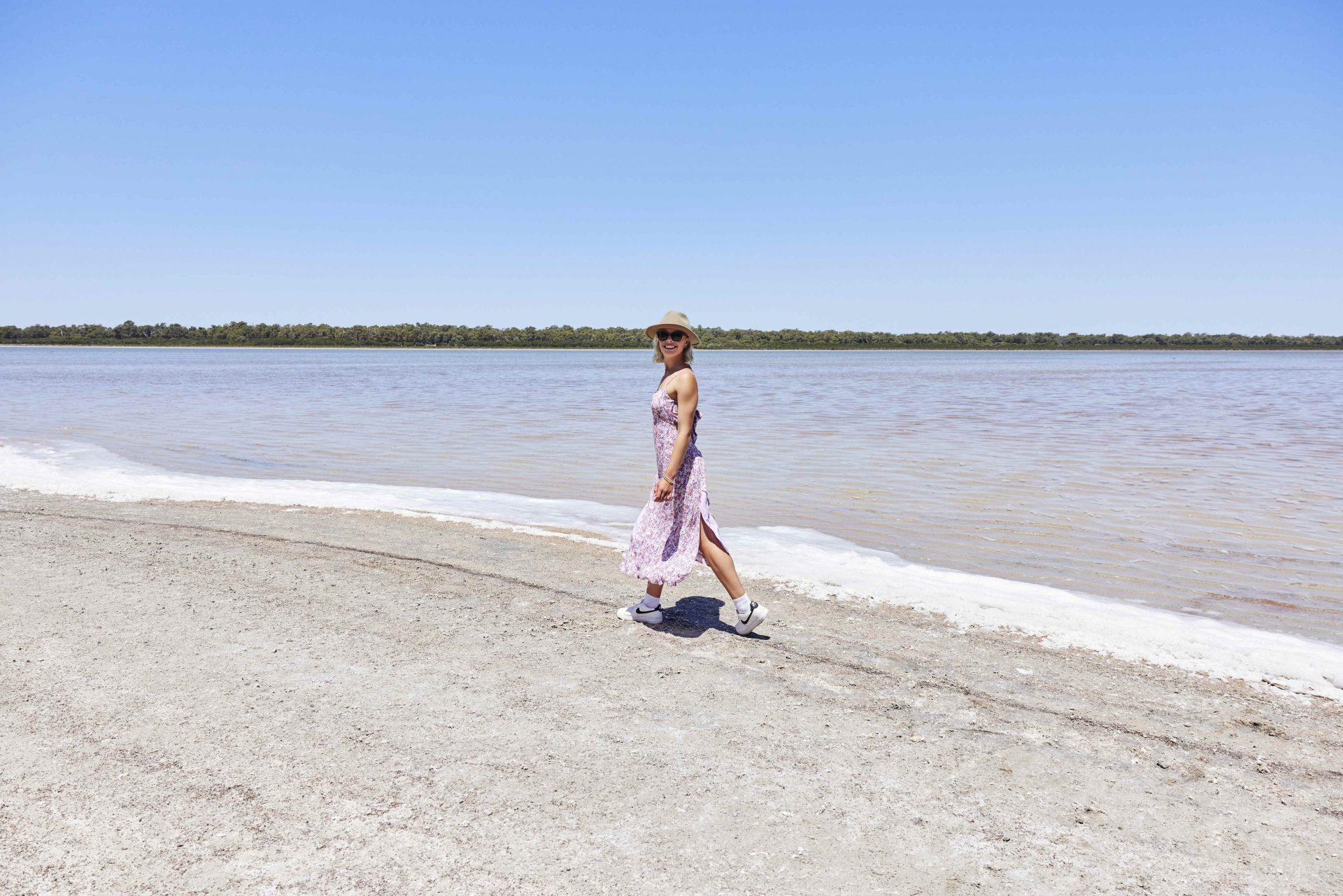
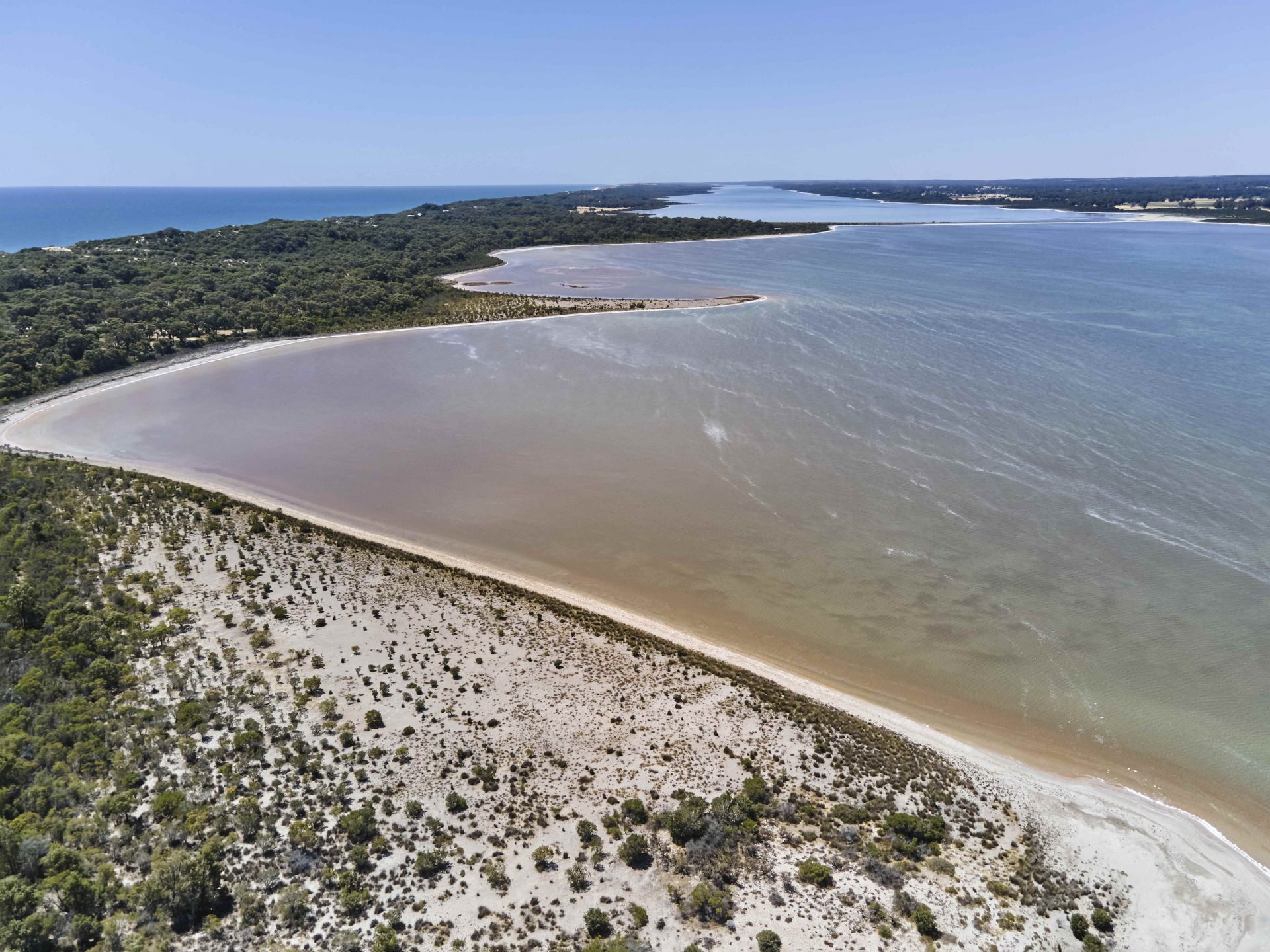
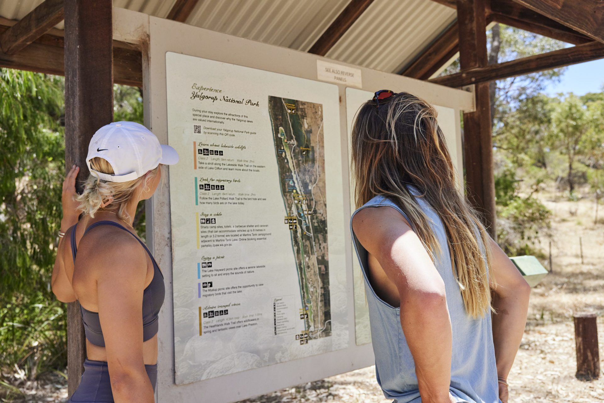
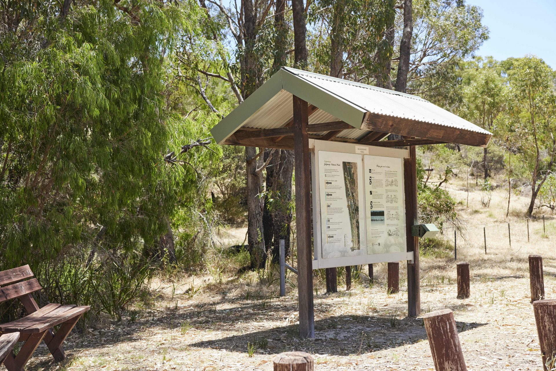
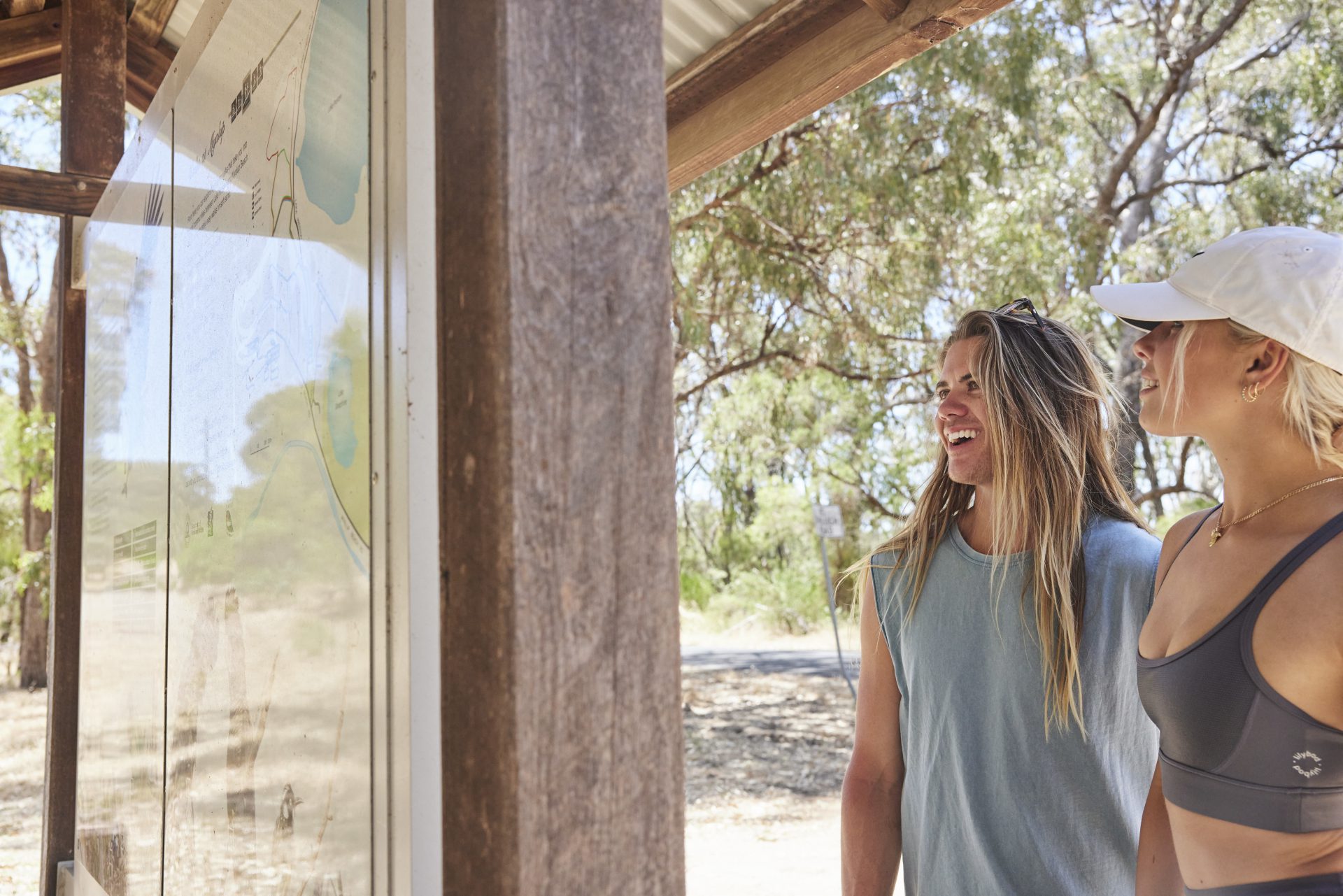
The lake system of Yalgorup National Park near Myalup is a world recognised RAMSAR wetland. It includes ten magnificent lakes, with Lake Preston and Lake Josephine situated within the Harvey Region, with the remaining lakes located in the Peel Region.
These lakes lie in the depressions between a series of coastal dunes and run parallel to the coast. Lake Preston is a magnificent spot to set out on a picnic or watch for native birds.
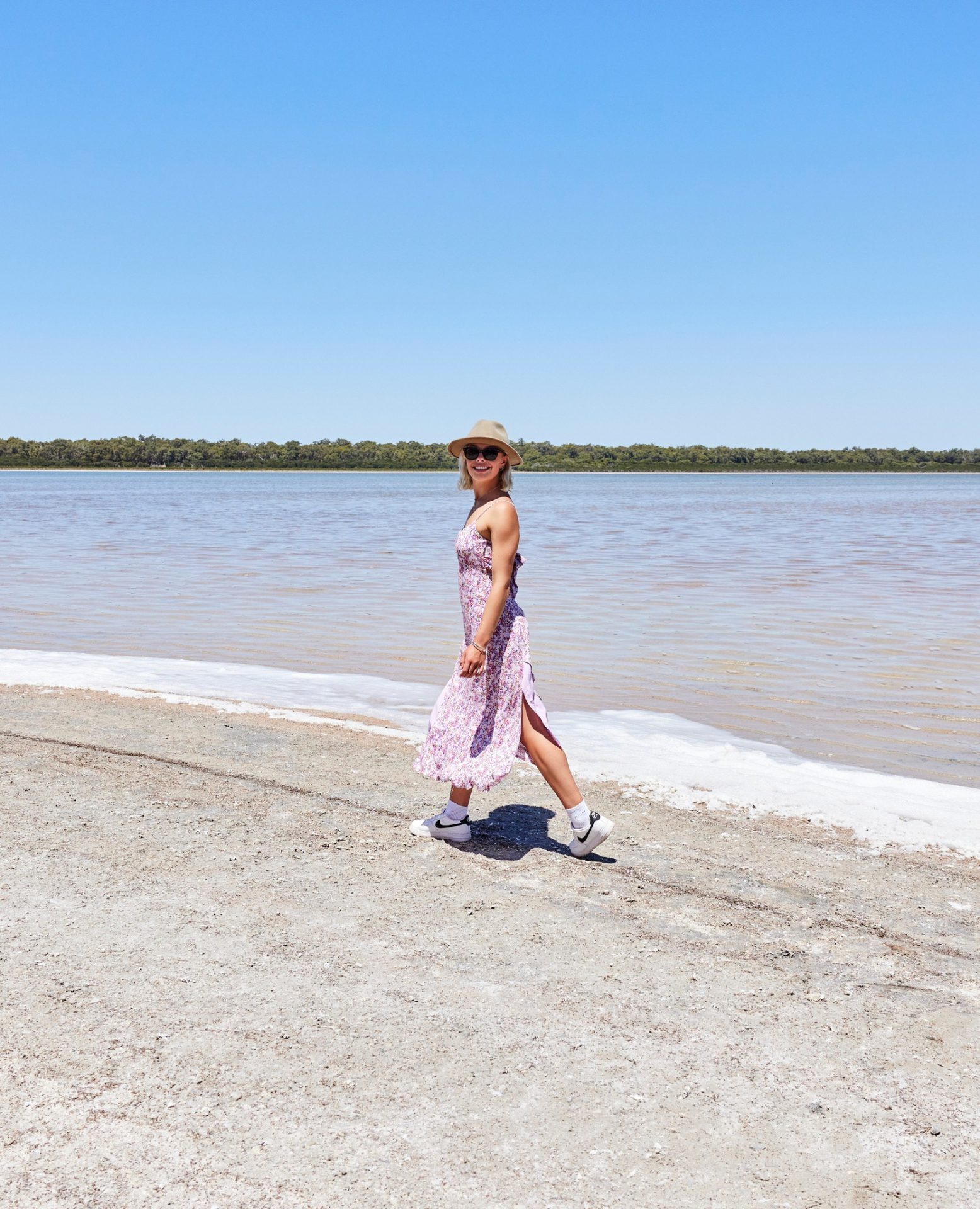
Within the Myalup town site, Lake Josephine is a small, picturesque lake that puts on an impressive display of pink in winter when the Red Samphire blooms. There is a walk path on its western boundary.
No motorised activities are allowed on Lake Preston or Josephine.


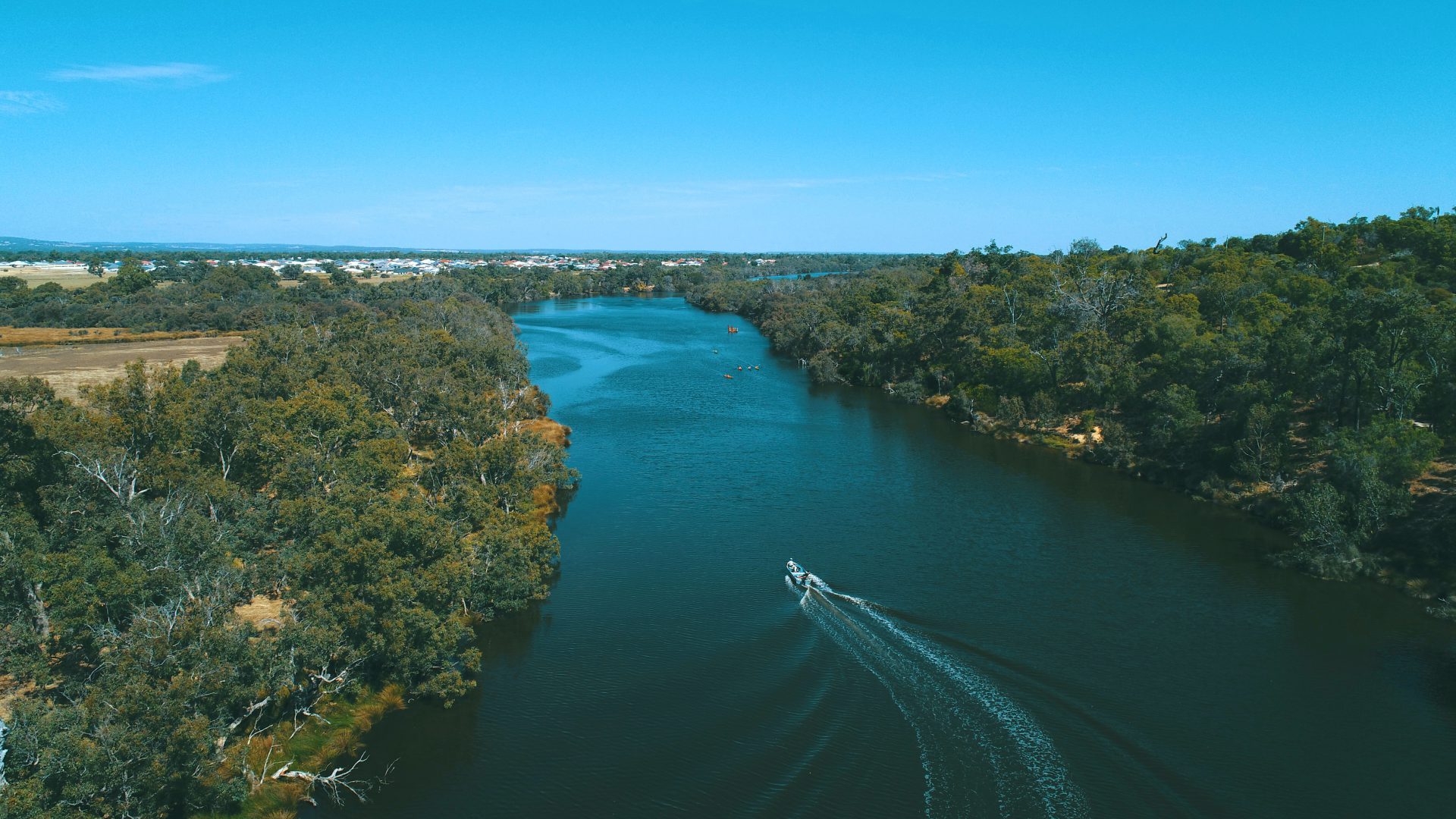
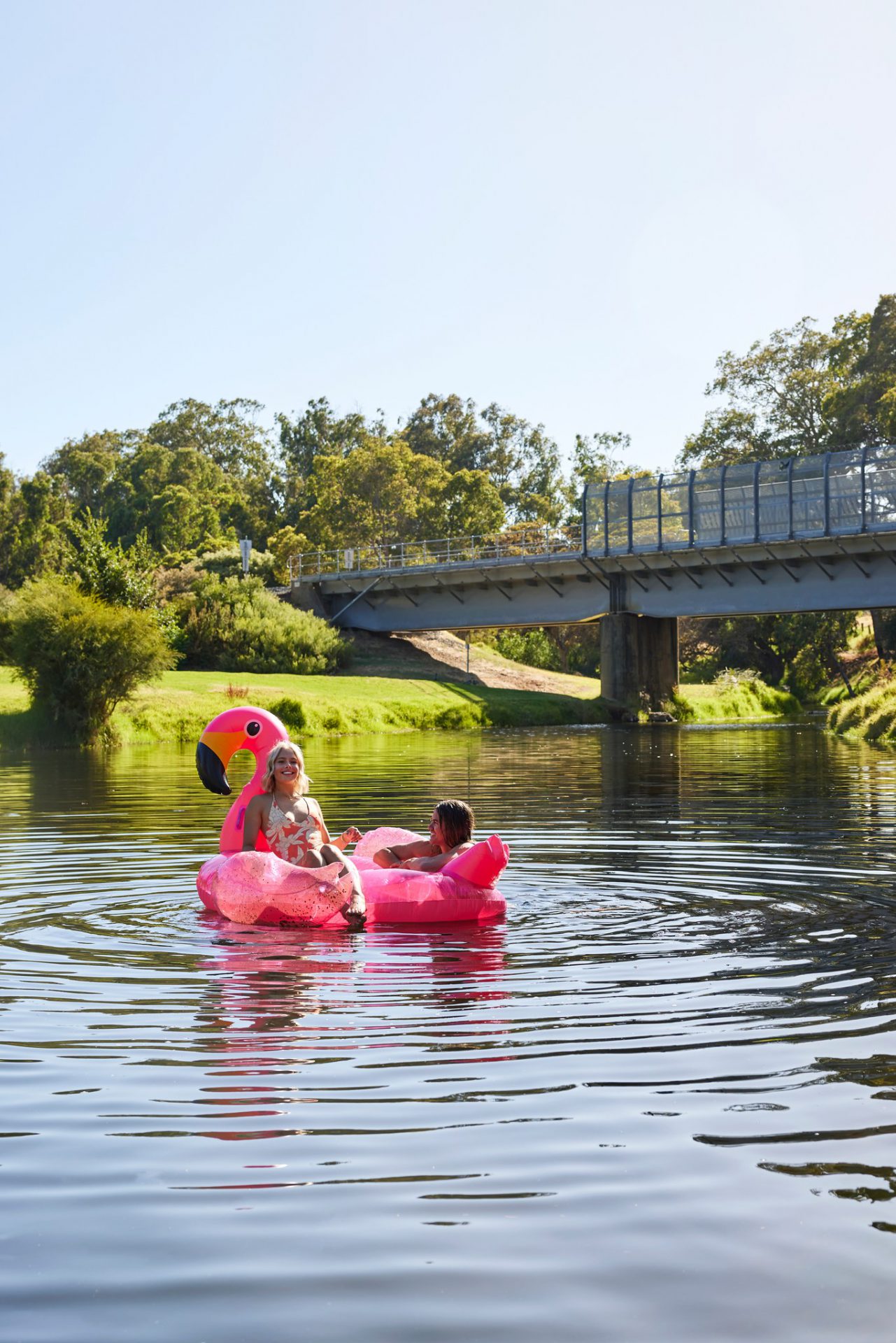
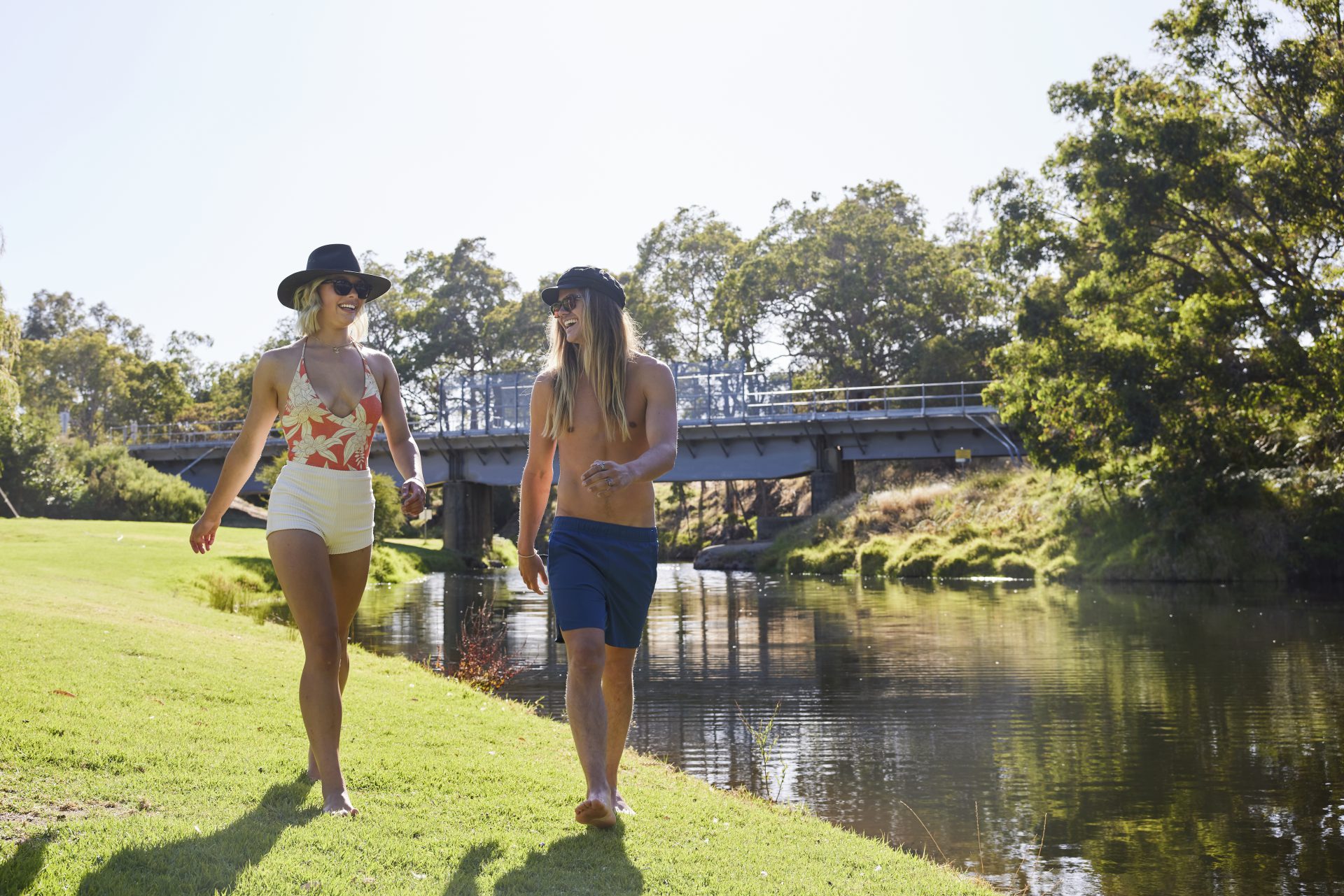
Rivers (Bilya)
We are blessed with multiple rivers which traverse our region.
Our First Nation Noongar people, including the Ngarngungudditj Walgu (River People) believe the rivers and waterways in our Region, including the Harvey, Collie and the Brunswick rivers, are sacred and were created by the Wagyl.
Joe Northover, the contemporary custodian of the Collie River mythology, speaks of the Ngarngungudditj Walgu, the hairy faced rainbow serpent. The Ngarngungudditj Walgu came from the north of Collie, passed through the Collie area and moved towards Eaton, forming the Collie River. When the serpent reached Eaton, it turned its body, creating the Leschenault Estuary, and then travelled back up the river to rest at Minninup Pool.
Harvey River
The Harvey River catchment is 1921 km2 and includes the Harvey River and three main tributaries Drakes, Samson and Logue brooks, which all originate on the Darling Plateau and flow down the scarp to the Swan Coastal Plain. On the coastal plain, the Harvey River Diversion Drain conveys water from the Harvey River to the ocean.
The Harvey River, named by Sir James Stirling, after Rear Admiral Sir John Harvey, is approximately 80 km in length and flows through the centre of the Harvey town site. The best place to view the river is at The Jungle Rest Area or at the Stirling Cottage Gardens Precinct.
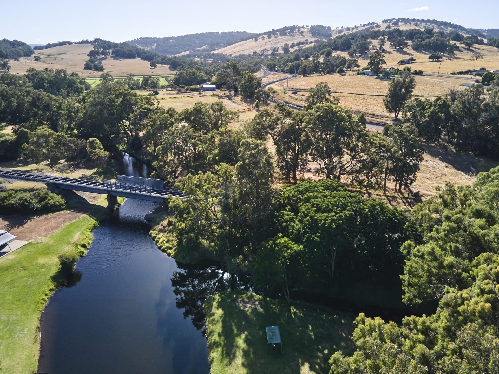
Brunswick River
The Brunswick River also rises in the Darling Range then flows south-west before merging with the into the Collie River in Australind at the place locals know as Twin Rivers. It was also named Stirling after Ernest Augustus, King of Hanover, Duke of Brunswick and Lüneburg, the fifth son and eighth child of George III with whom Stilring had spent time with in 1813. The Brunswick has six tributaries: Wellesley River, Ernest River, Elvira Gully, Augustus River, Frederic River and Lunenburgh River.
View the Brunswick River on the Dandjoo Bilya (Twin Rivers) Trail or at the Brunswick River Pool and River Walk. Off-roaders can send some time on its upper reaches at Camford Road in the Mornington Forest.
Collie River
Once again named by Stirling, after Alexander Collie who, along with Lieutenant William Preston, in November 1829 was the first European to explore the river. The Collie River system, including the Wellington Dam, is the largest water source in the southwest of Western Australia.
Head to Clifton Community Reserve to see where the Collie River enters the Leschenault Estuary. Drop in a line at the Old Lower Collie Timber Jetty, take a cruise on Three Water Cruises, or launch your kayak and start paddling to truly appreciate this impressive river system.


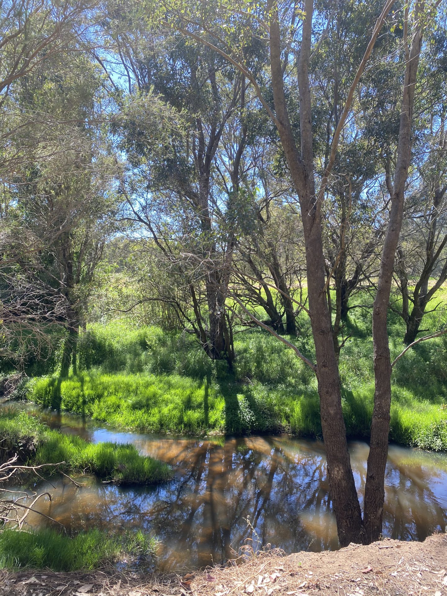


Wetlands
The South West is one of 25 original global hotspots for wildlife and plants, and the first one identified in Australia. Along with our lakes and dams, our wetlands form an important part of our ecology.
- Rosamel Wetland: Only minutes from Australind, the Wetland Wonders Walk at Rosamel Wetlands, is a haven for water birds and wetland wildlife.
- Benger Swamp Nature Reserve: A little-known, significant wetland west of Benger that supports the critically endangered Australasian Bittern and is one of only seven known breeding sites in south-western Australians for freckled ducks. Note: though managed by Parks & Wildlife, there are no facilities nor interpretive signage at this site.